
The day was defined by cold rain and relentless overcast skies—perfect conditions for severe cabin fever. Deciding an escape was mandatory, we threw on our heaviest layers and waterproofs and headed out. Abandoning any set agenda, we simply focused on finding a scenic road trip route nearby. What we discovered far exceeded our low-key expectations.
Tunheimshornet
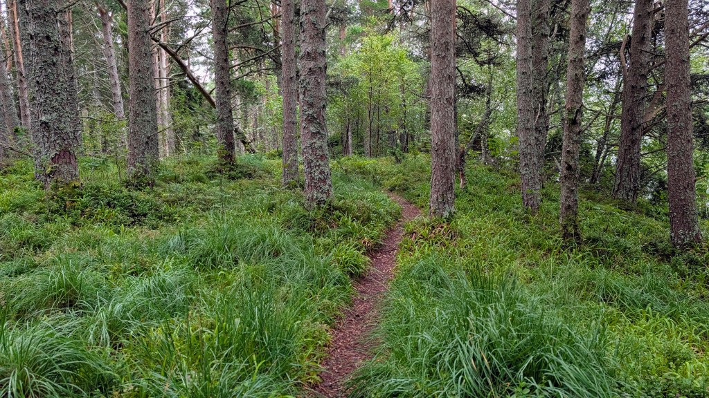
A beautiful hike that was within a short distance from my accommodation in Fiskå was Tunheimshornet. It’s a green hiking route 1,19 km one way but climbs an impressive 234 m elevation, but has some steep sections where careful walking is needed. To get there, there is parking at the Circle K gas station, and a short walk past the Selvvask (car/bike self wash) is the marked trail. It takes about 40 minutes to reach the top of the hill following the path. Besides the steep climb it is a relatively easy hike. There is a picnic area with benches, and just beyond that there is a public hut where you can admire the view. This hut is the highlight of the walk! It’s kitted out, providing shelter, benches, a window to gaze out of and admire the view, and fire a extinguisher when you are done with the grill.


Fiskå brygge guesthouse
Fiskå brygge guesthouse has a lovely restaurant to sample local food and one of the only restaurants in the area. I had the fish soup, and also had the fried fish. The staff are kind and also speak English. The food was delicious and the restaurant is in beautiful surroundings, in the photo below in front of the restaurant you can see the hill with the Tunheimshornet hike.
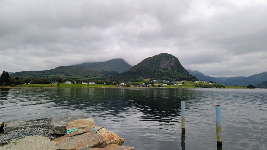
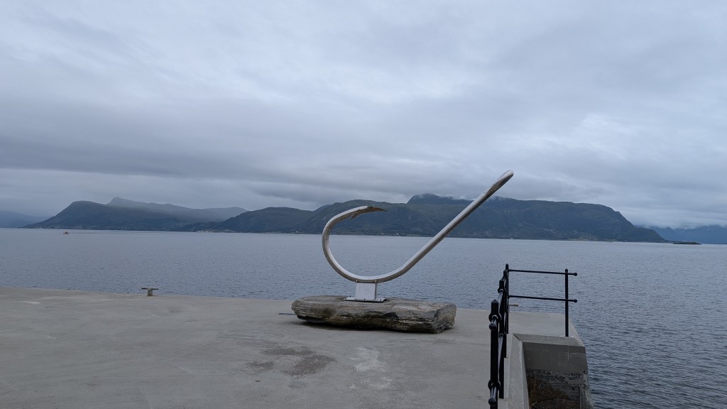
scenic spot: Leikanger village
One of the things I really enjoy is not being under a super pressured schedule, and taking time to see some of the smaller villages. I stopped in Leikanger waterfront, which is along the Sognefjord. From the pier, I could see a large sculpture of a fishing hook. It symbolises the importance of fishing in Norway’s communities.

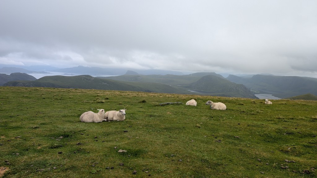
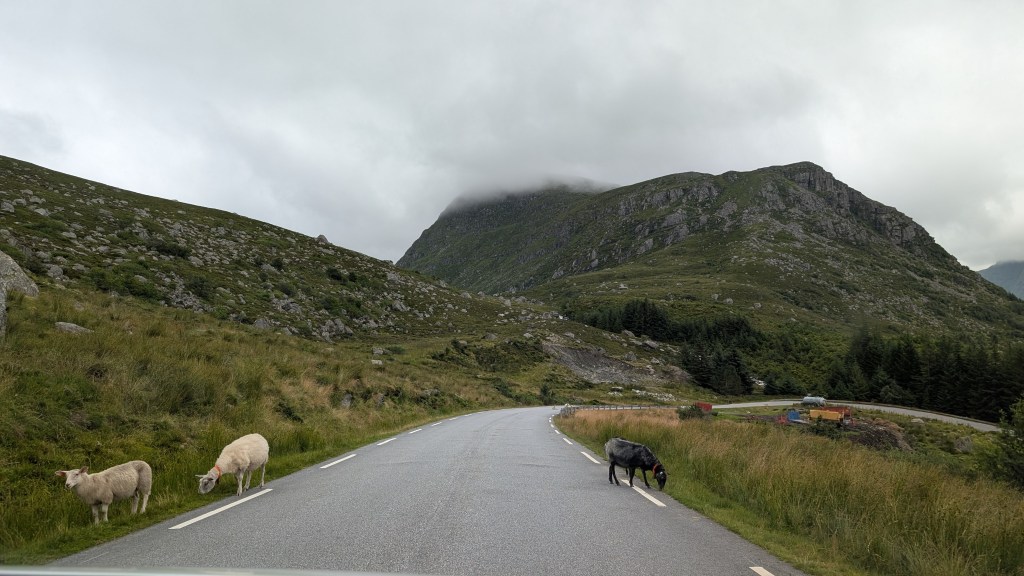
Vestkapp
While I were driving around the peninsula on a very rainy day looking for something to see, we discovered Vestkaap from the road signs in the surrounding area. After following what was a rather narrow and windy round to the top, we arrived at the parking by the cafe.
I discovered that Vestkaap is the West Cape of Norway, with the westernmost plateau on Norway’s mainland. From the top of Vestkaap’s plateau I was granted a beautiful view of the surrounding mountains and fjords, and scenic views of the stormy ocean below. The drop down the cliffs from the cafe are an impressive 496 meters (1,627 feet), and the wind drives strongly through the area. From the top of the plateau I walked amongst the sheep to the weather radar station, and the old viking ruins.


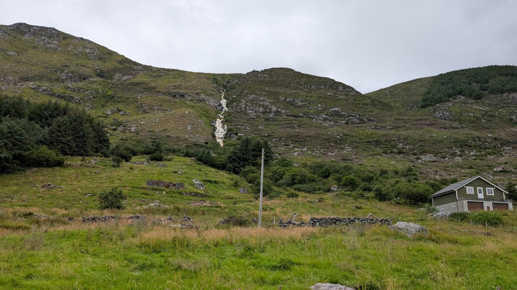
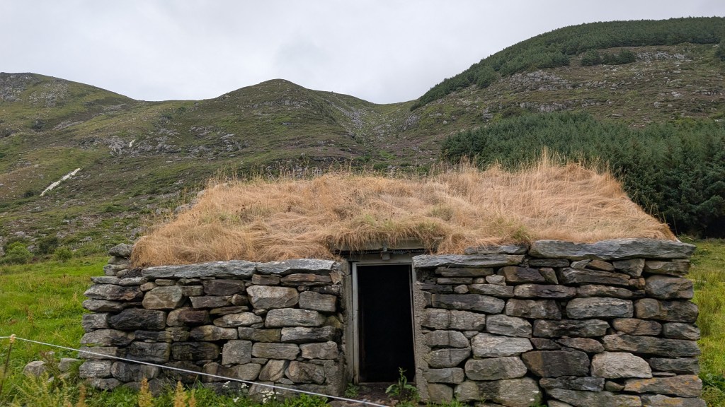
As we drove through the area we saw beautiful sights, old Viking turf buildings, mountains with many waterfalls and more small villages.

Ervik
Driving back from Vestkapp, we stumbled upon the beautiful beach of Ervik. It was clearly a surfer’s paradise, boasting perfect-looking, surfable waves and a pristine sand beach. The cove was dramatically framed by rugged mountains, and a river cut across the sand, spilling into the sea with a beautiful two-toned confluence in the water. For convenience, clean change rooms and toilets were readily available. Considering the many layers we were wearing against the cold, I truly had to take my hat off to the surfers braving that frigid water—though they looked incredibly well-prepared with thick wetsuits, booties, and headgear.

This spontaneous road trip proved to be a spectacular success. Capping it all off with the beautiful nature of the Peninsula, we realised that even on a cold, grey day, the unexpected beauty found right outside our door can far outweigh any urge to stay inside.
references:
- A good website to use for nearby hikes is https://morotur.no/?lat=62.08652948&lng=5.5780077&zoom=14
- https://www.vestkapp.no/home-english
